
Muttil topographic map
Interactive map
Click on the map to display elevation.
About this map
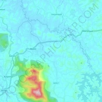
Name: Muttil topographic map, elevation, terrain.
Location: Muttil, Vythiri, Wayanad, Kerala, India (11.59888 76.07438 11.67981 76.17912)
Average elevation: 786 m
Minimum elevation: 722 m
Maximum elevation: 1,385 m