
Masod topographic map
Interactive map
Click on the map to display elevation.
About this map
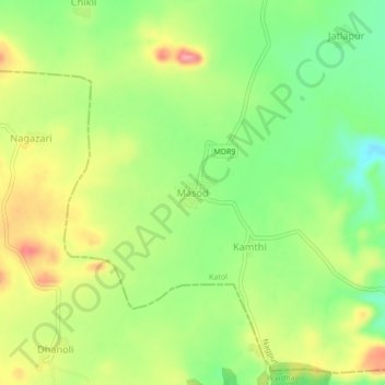
Name: Masod topographic map, elevation, terrain.
Location: Masod, Katol, Nagpur District, Maharashtra, India (21.05681 78.60109 21.09681 78.64109)
Average elevation: 508 m
Minimum elevation: 458 m
Maximum elevation: 567 m