
Alanda topographic map
Interactive map
Click on the map to display elevation.
About this map
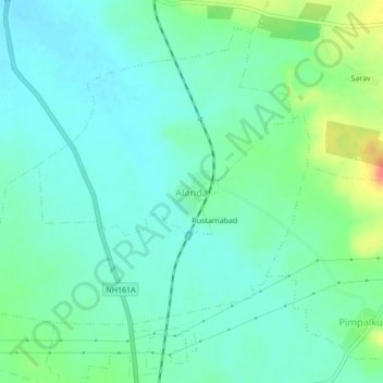
Name: Alanda topographic map, elevation, terrain.
Location: Alanda, Barshitakli, Akola, Maharashtra, India (20.59408 77.04729 20.63408 77.08729)
Average elevation: 303 m
Minimum elevation: 289 m
Maximum elevation: 342 m