
Pangong Lake topographic map
Interactive map
Click on the map to display elevation.
About this map
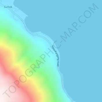
Name: Pangong Lake topographic map, elevation, terrain.
Location: Pangong Lake, Lukung, Leh, Leh District, Ladakh, India (33.94451 78.42184 33.96451 78.44184)
Average elevation: 4,393 m
Minimum elevation: 4,240 m
Maximum elevation: 5,088 m