
Nallagunta topographic map
Interactive map
Click on the map to display elevation.
About this map
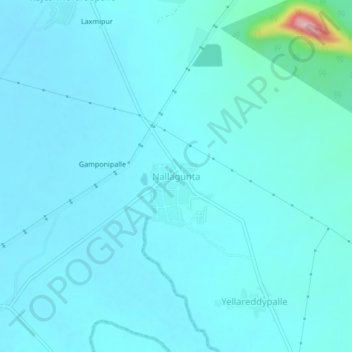
Name: Nallagunta topographic map, elevation, terrain.
Location: Nallagunta, Venkatapur mandal, Mulugu, Telangana, India (18.25649 79.95289 18.29649 79.99289)
Average elevation: 208 m
Minimum elevation: 189 m
Maximum elevation: 390 m