
Thural topographic map
Interactive map
Click on the map to display elevation.
About this map
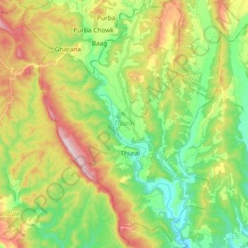
Name: Thural topographic map, elevation, terrain.
Location: Thural, Kangra, Himachal Pradesh, 176107, India (31.86296 76.41279 31.97421 76.50437)
Average elevation: 717 m
Minimum elevation: 531 m
Maximum elevation: 1,018 m