
Khara topographic map
Interactive map
Click on the map to display elevation.
About this map
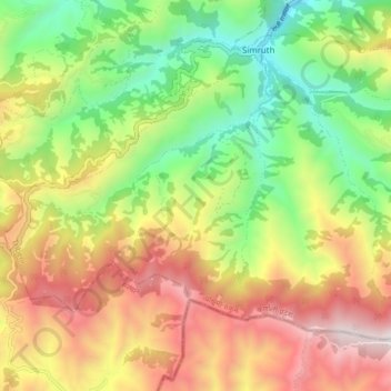
Name: Khara topographic map, elevation, terrain.
Location: Khara, Tribeni, Western Rukum District, Karnali Pradesh, Nepal (28.52127 82.37804 28.57544 82.46298)
Average elevation: 1,787 m
Minimum elevation: 1,079 m
Maximum elevation: 2,648 m