
Nekkonda topographic map
Interactive map
Click on the map to display elevation.
About this map
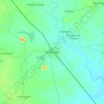
Name: Nekkonda topographic map, elevation, terrain.
Location: Nekkonda, Nekkonda mandal, Warangal, Telangana, 506122, India (17.75599 79.76199 17.83599 79.84199)
Average elevation: 233 m
Minimum elevation: 211 m
Maximum elevation: 311 m