
Thikariya Khurd topographic map
Interactive map
Click on the map to display elevation.
About this map
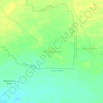
Name: Thikariya Khurd topographic map, elevation, terrain.
Location: Thikariya Khurd, Nawa Tehsil, Nagaur, Rajasthan, India (27.07008 75.33488 27.11008 75.37488)
Average elevation: 407 m
Minimum elevation: 396 m
Maximum elevation: 416 m