
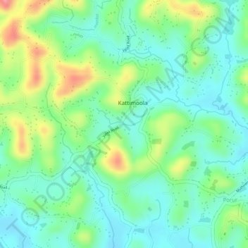
Thavinjal topographic map
Interactive map
Click on the map to display elevation.
About this map
Name: Thavinjal topographic map, elevation, terrain.
Location: Thavinjal, Kattimoola, Mananthavady, Wayanad, Kerala, India (11.79986 75.92456 11.79996 75.92466)
Average elevation: 756 m
Minimum elevation: 720 m
Maximum elevation: 824 m