
Porle topographic map
Interactive map
Click on the map to display elevation.
About this map
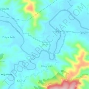
Name: Porle topographic map, elevation, terrain.
Location: Porle, Panhala, Kolhapur district, Maharashtra, India (16.73213 73.95500 16.77213 73.99500)
Average elevation: 589 m
Minimum elevation: 546 m
Maximum elevation: 788 m