
Bamna topographic map
Interactive map
Click on the map to display elevation.
About this map
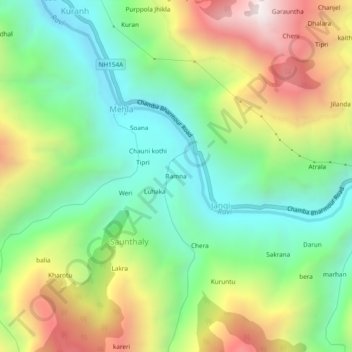
Name: Bamna topographic map, elevation, terrain.
Location: Bamna, Jangi, Chamba, Himachal Pradesh, India (32.45699 76.16506 32.49699 76.20506)
Average elevation: 1,473 m
Minimum elevation: 973 m
Maximum elevation: 2,288 m