
Usthe topographic map
Interactive map
Click on the map to display elevation.
About this map
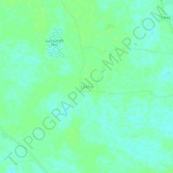
Name: Usthe topographic map, elevation, terrain.
Location: Usthe, Mymensingh District, Mymensingh Division, Bangladesh (24.36756 90.57924 24.40756 90.61924)
Average elevation: 10 m
Minimum elevation: 5 m
Maximum elevation: 14 m