
Pandurangapuram topographic map
Interactive map
Click on the map to display elevation.
About this map
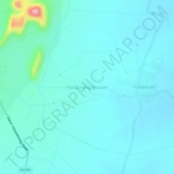
Name: Pandurangapuram topographic map, elevation, terrain.
Location: Pandurangapuram, Chimakurthi, Prakasam, Andhra Pradesh, India (15.63097 79.87276 15.67097 79.91276)
Average elevation: 60 m
Minimum elevation: 35 m
Maximum elevation: 246 m