
Ghanauli topographic map
Interactive map
Click on the map to display elevation.
About this map
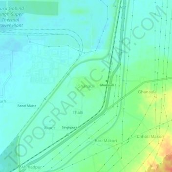
Name: Ghanauli topographic map, elevation, terrain.
Location: Ghanauli, Rupnagar Tahsil, Rupnagar, Punjab, India (31.00535 76.56632 31.04535 76.60632)
Average elevation: 287 m
Minimum elevation: 275 m
Maximum elevation: 320 m