
Bagula topographic map
Interactive map
Click on the map to display elevation.
Bagula
Bagula is located at 23°20′06″N 88°38′38″E / 23.335°N 88.644°E / 23.335; 88.644. It has an average elevation of 6 metres (20 feet).
About this map
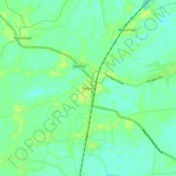
Name: Bagula topographic map, elevation, terrain.
Location: Bagula, Hanskhali, Nadia, West Bengal, 741502, India (23.29387 88.60210 23.37387 88.68210)
Average elevation: 10 m
Minimum elevation: 4 m
Maximum elevation: 16 m