
Chegunta topographic map
Interactive map
Click on the map to display elevation.
About this map
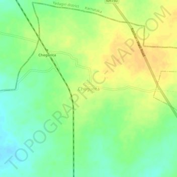
Name: Chegunta topographic map, elevation, terrain.
Location: Chegunta, Krishna mandal, Narayanpet, Telangana, India (16.45704 77.29137 16.49704 77.33137)
Average elevation: 369 m
Minimum elevation: 354 m
Maximum elevation: 382 m