
Aurangabad topographic map
Interactive map
Click on the map to display elevation.
About this map
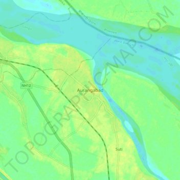
Name: Aurangabad topographic map, elevation, terrain.
Location: Aurangabad, Suti - II, Murshidabad, West Bengal, 742224, India (24.58197 87.98658 24.66197 88.06658)
Average elevation: 21 m
Minimum elevation: 13 m
Maximum elevation: 31 m