
Pukhuria topographic map
Interactive map
Click on the map to display elevation.
About this map
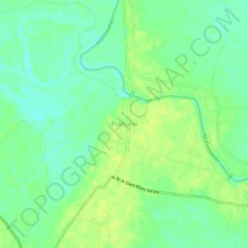
Name: Pukhuria topographic map, elevation, terrain.
Location: Pukhuria, Ratua - II, Maldah, West Bengal, India (25.12136 87.99577 25.16136 88.03577)
Average elevation: 26 m
Minimum elevation: 17 m
Maximum elevation: 33 m