
Musiri topographic map
Interactive map
Click on the map to display elevation.
Musiri
Musiri is a Panchayat town in the Tiruchirappalli district in the Indian state of Tamil Nadu. It has an average elevation of 82 metres (269 feet).Center point of Tamil Nadu. Proud moment for all the people who is living in Musiri
About this map
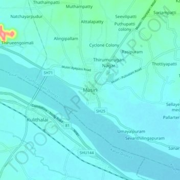
Name: Musiri topographic map, elevation, terrain.
Location: Musiri, Tiruchchirappalli district, Tamil Nadu, 621211, India (10.91155 78.40196 10.99155 78.48196)
Average elevation: 92 m
Minimum elevation: 79 m
Maximum elevation: 209 m