
Ganugapenta topographic map
Interactive map
Click on the map to display elevation.
About this map
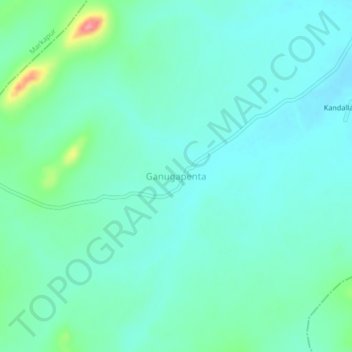
Name: Ganugapenta topographic map, elevation, terrain.
Location: Ganugapenta, Tarlupadu, Prakasam, Andhra Pradesh, India (15.69671 79.34699 15.73671 79.38699)
Average elevation: 162 m
Minimum elevation: 143 m
Maximum elevation: 237 m