
Lehra Sondha topographic map
Interactive map
Click on the map to display elevation.
About this map
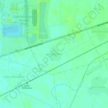
Name: Lehra Sondha topographic map, elevation, terrain.
Location: Lehra Sondha, Bathinda Tahsil, Bathinda, Punjab, India (30.23052 75.16282 30.27052 75.20282)
Average elevation: 217 m
Minimum elevation: 211 m
Maximum elevation: 226 m