
Tirupattur topographic map
Interactive map
Click on the map to display elevation.
Tirupattur
Tirupathur is called "Sandalwood Town" due to the abundance of sandalwood trees in the surrounding hills. It is very close to the Yelagiri hills, a major hill station of Tamil Nadu. The town is at an average elevation of 388 m (1,273 ft). The Jawadhu Hills, a part of the eastern ghats, are to the east of Tirupathur. The major group of soils found in the town are black (10 percent) and red (90 varieties). Tirupathur town has 56.059 km (34.833 mi) of roads.
About this map
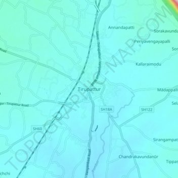
Name: Tirupattur topographic map, elevation, terrain.
Average elevation: 389 m
Minimum elevation: 364 m
Maximum elevation: 726 m