
Kummarapalle topographic map
Interactive map
Click on the map to display elevation.
About this map
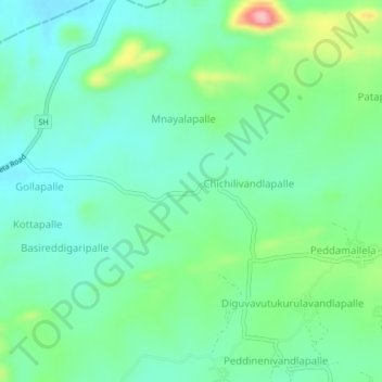
Name: Kummarapalle topographic map, elevation, terrain.
Location: Kummarapalle, Rompicherla, Chittoor, Andhra Pradesh, India (13.68569 78.98373 13.72569 79.02373)
Average elevation: 488 m
Minimum elevation: 447 m
Maximum elevation: 598 m