
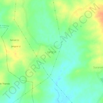
Jangrai topographic map
Interactive map
Click on the map to display elevation.
About this map
Name: Jangrai topographic map, elevation, terrain.
Location: Jangrai, Shankarampet_R mandal, Medak, Telangana, India (17.93681 78.36036 17.97681 78.40036)
Average elevation: 502 m
Minimum elevation: 486 m
Maximum elevation: 524 m