
Potlapur topographic map
Interactive map
Click on the map to display elevation.
About this map
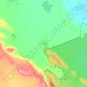
Name: Potlapur topographic map, elevation, terrain.
Location: Potlapur, Mulug mandal, Mulugu, Telangana, India (18.09000 79.97141 18.13000 80.01141)
Average elevation: 255 m
Minimum elevation: 200 m
Maximum elevation: 340 m