
Anadra topographic map
Interactive map
Click on the map to display elevation.
About this map
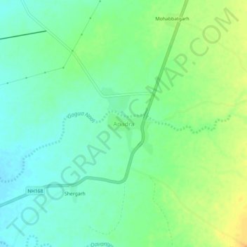
Name: Anadra topographic map, elevation, terrain.
Location: Anadra, Reodar Tehsil, Sirohi, Rajasthan, India (24.61695 72.63362 24.65695 72.67362)
Average elevation: 278 m
Minimum elevation: 266 m
Maximum elevation: 296 m