
Dhrab topographic map
Interactive map
Click on the map to display elevation.
About this map
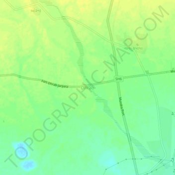
Name: Dhrab topographic map, elevation, terrain.
Location: Dhrab, Mundra Taluka, Kutch District, Gujarat, 370421, India (22.81418 69.66044 22.85418 69.70044)
Average elevation: 11 m
Minimum elevation: -1 m
Maximum elevation: 19 m