
Antroli topographic map
Interactive map
Click on the map to display elevation.
About this map
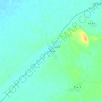
Name: Antroli topographic map, elevation, terrain.
Location: Antroli, Lachhmangarh Tehsil, Sikar, Rajasthan, India (27.85188 75.06419 27.89188 75.10419)
Average elevation: 358 m
Minimum elevation: 350 m
Maximum elevation: 384 m