
Sanaganapalle topographic map
Interactive map
Click on the map to display elevation.
About this map
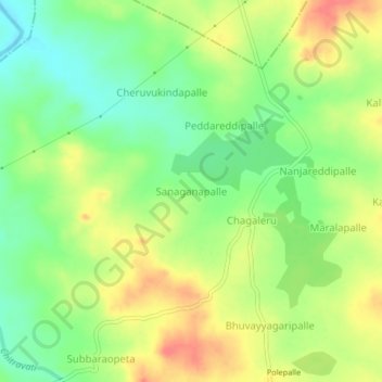
Name: Sanaganapalle topographic map, elevation, terrain.
Location: Sanaganapalle, Chilamathur, Anantapur, Andhra Pradesh, India (13.88193 77.74191 13.92193 77.78191)
Average elevation: 678 m
Minimum elevation: 648 m
Maximum elevation: 711 m