
Huzurabad topographic map
Interactive map
Click on the map to display elevation.
About this map
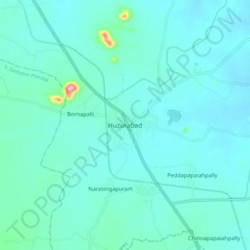
Name: Huzurabad topographic map, elevation, terrain.
Average elevation: 270 m
Minimum elevation: 248 m
Maximum elevation: 443 m
It is at 18°12′N 79°25′E / 18.20°N 79.42°E / 18.20; 79.42. It has an average elevation of 271 metres (889 ft).