
Chandela topographic map
Interactive map
Click on the map to display elevation.
About this map
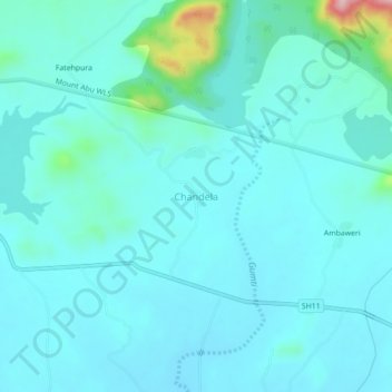
Name: Chandela topographic map, elevation, terrain.
Location: Chandela, Abu Road Tehsil, Sirohi, Rajasthan, India (24.50424 72.64449 24.54424 72.68449)
Average elevation: 271 m
Minimum elevation: 239 m
Maximum elevation: 486 m