
Muhar topographic map
Interactive map
Click on the map to display elevation.
About this map
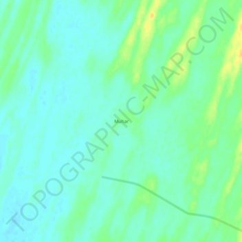
Name: Muhar topographic map, elevation, terrain.
Location: Muhar, Jaisalmer Tehsil, Jaisalmer, Rajasthan, India (26.92448 70.12327 26.96448 70.16327)
Average elevation: 99 m
Minimum elevation: 91 m
Maximum elevation: 117 m