
Kadwa topographic map
Interactive map
Click on the map to display elevation.
About this map
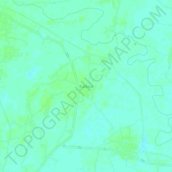
Name: Kadwa topographic map, elevation, terrain.
Location: Kadwa, Katihar, Bihar, India (25.62540 87.71836 25.66540 87.75836)
Average elevation: 33 m
Minimum elevation: 29 m
Maximum elevation: 38 m