
Machhiwara topographic map
Interactive map
Click on the map to display elevation.
About this map
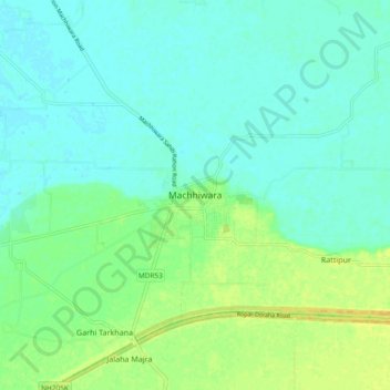
Name: Machhiwara topographic map, elevation, terrain.
Location: Machhiwara, Samrala Tahsil, Ludhiana, Punjab, India (30.87546 76.15929 30.95546 76.23929)
Average elevation: 258 m
Minimum elevation: 250 m
Maximum elevation: 273 m