
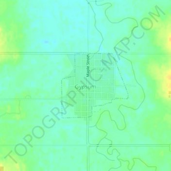
Gypsum topographic map
Interactive map
Click on the map to display elevation.
About this map
Name: Gypsum topographic map, elevation, terrain.
Location: Gypsum, Saline County, Kansas, United States of America (38.70059 -97.43293 38.71080 -97.41946)
Average elevation: 378 m
Minimum elevation: 369 m
Maximum elevation: 392 m