
Cyber City topographic map
Interactive map
Click on the map to display elevation.
About this map
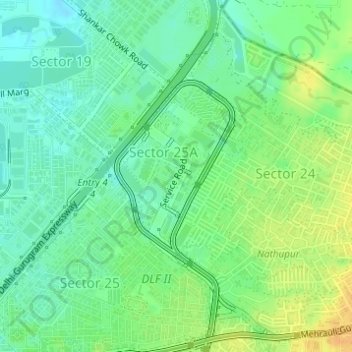
Name: Cyber City topographic map, elevation, terrain.
Location: Cyber City, Sector 25A, Gurugram, Gurgaon, Haryana, India (28.48846 77.08653 28.49998 77.09761)
Average elevation: 244 m
Minimum elevation: 231 m
Maximum elevation: 261 m
Other topographic maps
Click on a map to view its topography, its elevation and its terrain.