
Manerajuri topographic map
Interactive map
Click on the map to display elevation.
About this map
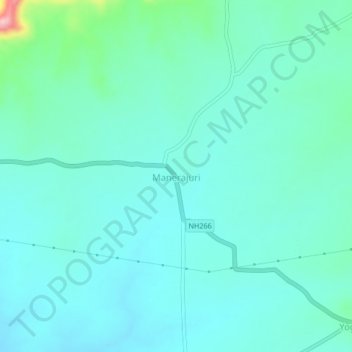
Name: Manerajuri topographic map, elevation, terrain.
Location: Manerajuri, Tasgaon, Sangli district, Maharashtra, India (17.00163 74.67719 17.04163 74.71719)
Average elevation: 644 m
Minimum elevation: 612 m
Maximum elevation: 807 m