
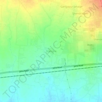
Shendra topographic map
Interactive map
Click on the map to display elevation.
About this map
Name: Shendra topographic map, elevation, terrain.
Location: Shendra, Chhatrapati Sambhajinagar, Maharashtra, 431201, India (19.85228 75.45133 19.89228 75.49133)
Average elevation: 583 m
Minimum elevation: 564 m
Maximum elevation: 612 m