
Kaniyapuram topographic map
Interactive map
Click on the map to display elevation.
About this map
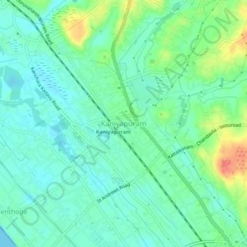
Name: Kaniyapuram topographic map, elevation, terrain.
Location: Kaniyapuram, Thiruvananthapuram, Kerala, 695301, India (8.56766 76.83607 8.60766 76.87607)
Average elevation: 15 m
Minimum elevation: 0 m
Maximum elevation: 50 m
Other topographic maps
Click on a map to view its topography, its elevation and its terrain.