
Sunkesula topographic map
Interactive map
Click on the map to display elevation.
About this map
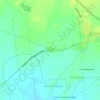
Name: Sunkesula topographic map, elevation, terrain.
Location: Sunkesula, Khajipet, YSR, Andhra Pradesh, 516203, India (14.62553 78.73426 14.66553 78.77426)
Average elevation: 134 m
Minimum elevation: 128 m
Maximum elevation: 142 m