
Sagwāri topographic map
Interactive map
Click on the map to display elevation.
About this map
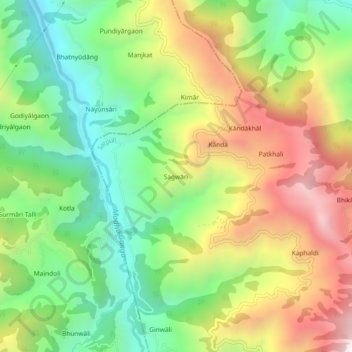
Name: Sagwāri topographic map, elevation, terrain.
Location: Sagwāri, Khaira, Satpuli, Pauri Garhwal, Uttarakhand, India (29.84970 78.69865 29.88970 78.73865)
Average elevation: 1,159 m
Minimum elevation: 693 m
Maximum elevation: 1,788 m