
Pandy topographic map
Interactive map
Click on the map to display elevation.
About this map
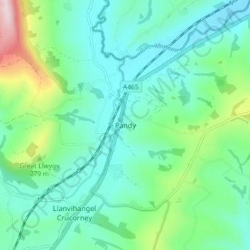
Name: Pandy topographic map, elevation, terrain.
Location: Pandy, Monmouthshire, Wales, NP7 8DS, United Kingdom (51.87405 -2.98689 51.91405 -2.94689)
Average elevation: 175 m
Minimum elevation: 89 m
Maximum elevation: 466 m