
Elathur topographic map
Interactive map
Click on the map to display elevation.
About this map
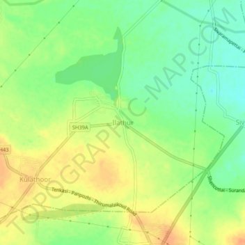
Name: Elathur topographic map, elevation, terrain.
Location: Elathur, Shenkottai, Tenkasi, Tamil Nadu, India (8.99129 77.26905 9.03129 77.30905)
Average elevation: 181 m
Minimum elevation: 161 m
Maximum elevation: 200 m