
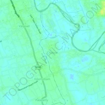
CHULOOR topographic map
Interactive map
Click on the map to display elevation.
About this map
Name: CHULOOR topographic map, elevation, terrain.
Location: CHULOOR, Kodungallur, Thrissur, Kerala, 680567, India (10.36490 76.10744 10.40490 76.14744)
Average elevation: 5 m
Minimum elevation: -1 m
Maximum elevation: 15 m