
Thank you for supporting this site ❤️
Make a donation
Make a donation
Koorkanchery Jn. topographic map
Click on the map to display elevation.
Thank you for supporting this site ❤️
Make a donation
Make a donation
About this map
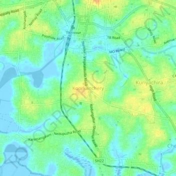
Name: Koorkanchery Jn. topographic map, elevation, terrain.
Location: Koorkanchery Jn., Thrissur, Kerala, 680007, India (10.48249 76.19184 10.52249 76.23184)
Average elevation: 11 m
Minimum elevation: -7 m
Maximum elevation: 29 m
Thank you for supporting this site ❤️
Make a donation
Make a donation