
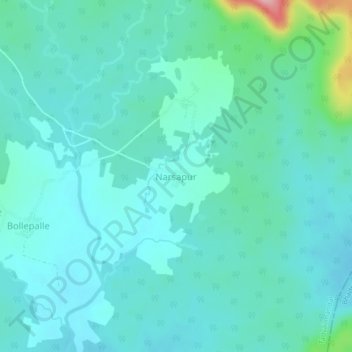
Narsapur topographic map
Interactive map
Click on the map to display elevation.
About this map
Name: Narsapur topographic map, elevation, terrain.
Location: Narsapur, Tadvai mandal, Mulugu, Telangana, India (18.03129 80.30623 18.07129 80.34623)
Average elevation: 279 m
Minimum elevation: 254 m
Maximum elevation: 409 m