
Mohammadpur topographic map
Interactive map
Click on the map to display elevation.
About this map
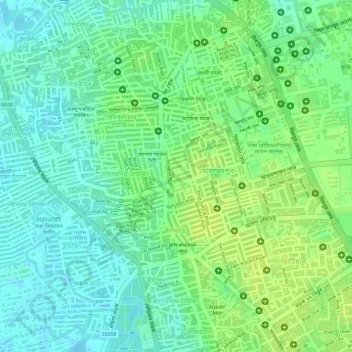
Name: Mohammadpur topographic map, elevation, terrain.
Location: Mohammadpur, Dhaka District, Dhaka Division, Bangladesh (23.75162 90.34540 23.77487 90.37525)
Average elevation: 10 m
Minimum elevation: 1 m
Maximum elevation: 17 m