
Goriya topographic map
Interactive map
Click on the map to display elevation.
About this map
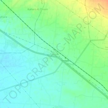
Name: Goriya topographic map, elevation, terrain.
Location: Goriya, Danta Ramgarh Tehsil, Sikar, Rajasthan, 332403, India (27.52905 75.24056 27.56905 75.28056)
Average elevation: 449 m
Minimum elevation: 437 m
Maximum elevation: 473 m