
Mangrul topographic map
Interactive map
Click on the map to display elevation.
About this map
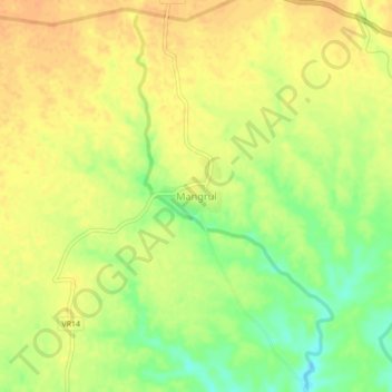
Name: Mangrul topographic map, elevation, terrain.
Location: Mangrul, Chopda, Jalgaon, Maharashtra, India (21.19346 75.37732 21.23346 75.41732)
Average elevation: 188 m
Minimum elevation: 166 m
Maximum elevation: 199 m